Reducing Bicyclist Deaths
UCSB’s BikeMaps.org teams up with Outside Magazine to understand why bicyclists are dying on our roads

Bicycling is a sustainable form of transportation that can improve health, save money, and increase social connectedness. But concerns about safety are the primary barrier to more people benefiting from bicycling as a mode of transportation, and with 697 bicyclist deaths in 2020 Outside Magazine decided to take a closer look. Some of the deadliest roads in the country were Military Trail in West Palm Beach, Florida; Beach Boulevard in Huntington Beach, California; and First and Second Avenues in Manhattan. Arterials lacking bicycle infrastructure and left turns being made by vehicle drivers are particularly deadly conditions for bicyclists.
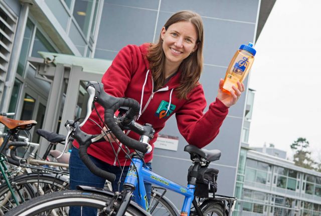
For help analyzing and interpreting bicycle death data, Outside magazine partnered with UCSB based BikeMaps.org lead by Professor and Dangermond Chair of Geography Trisalyn Nelson. BIkeMaps.org is a globally deployed tool for crowdsourcing data on bicycling crasehse, near misses, and hazards. With mapping in over 40 countries, BikeMaps.org is a tool that is helping cities set priorities for investments that increase access to safe bicycling. “BikeMaps.org fills a gap in bicycling safety data, as only about 30% of bike crashes are officially reporting. It is hard to set priorities for bicycling infrastructure projects when you don’t have good data”. Nelson joined UCSB in January 2021 and we can expect more bicycling related research locally and nationally from her team.