Research

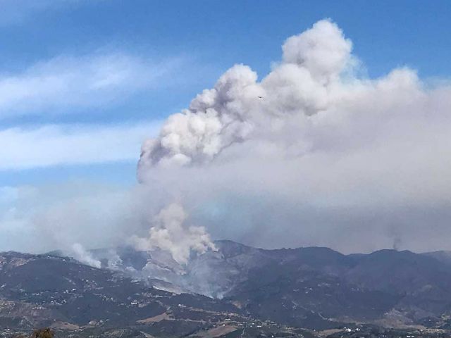
Understanding the physical and dynamical processes of the Earth's atmosphere that affect climate on multiple spatiotemporal scales.
Study of the human mind and activity concerning space, place, and environment, including their symbolic representation in words, images, and other formats.
Development and application of spatio-temporal analytics to support planning, management, decision making and policy.
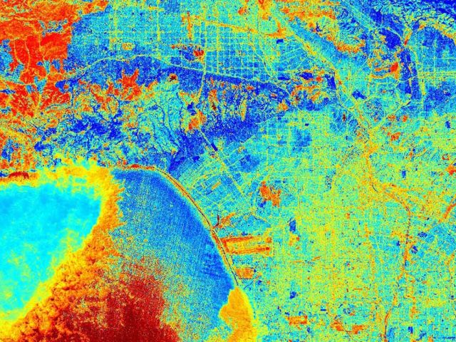
Powerful, map-based data sciences that geographers use to understand and manage our complex world.
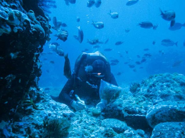
Understanding the changing ocean processes that affect Earth's climate and marine ecosystems.
Understanding the interplay between demographic and health events as they relate to the environment, space, and place.
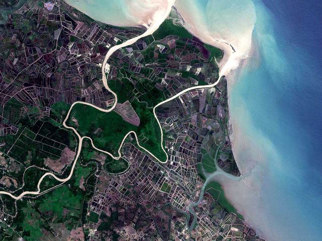
Unraveling the processes and patterns that characterize the Earth's surface and near-surface environments.

Research Centers

Climate Hazards Center

The Climate Hazards Center is an alliance of multidisciplinary scientists and food security analysts utilizing climate and crop models, satellite-based earth observations, and socioeconomic data sets to predict and monitor droughts and food shortages among the world's most vulnerable populations.

spatial@ucsb

spatial@ucsb's center mission is to engage in interdisciplinary research and education in how people and technology solve spatial problems.